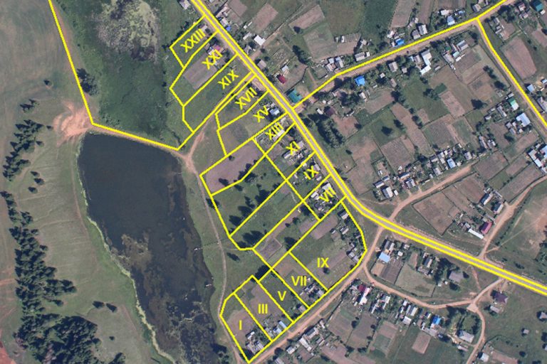
A topographic survey is an important tool used by a variety of professionals. Engineers, Planners, Developers, Architects and Infrastructure Consultants requires topographic land surveys to start a construction project. A topographic land survey can inence the design and layout of a new development, as there may be complex underground infrastructures that supply power, water, and other utilities to residential subdivisions, and commercial areas.
SGS is able to provide detailed survey data for road construction, telecommunications, as well as civil constructions. This allows engineers to use information collected for the design and monitoring of construction. Our clients will receive reliable, accurate and complete ground survey and three dimensional digital terrain models from which to base engineering designs, from highways and railways to resorts, township developments, golf courses or entire industrial zones. Government agencies frequently use topographic land surveys for developing codes and regulations for construction projects as well as preparation for digging drainage ditches, and creating water run-off areas.

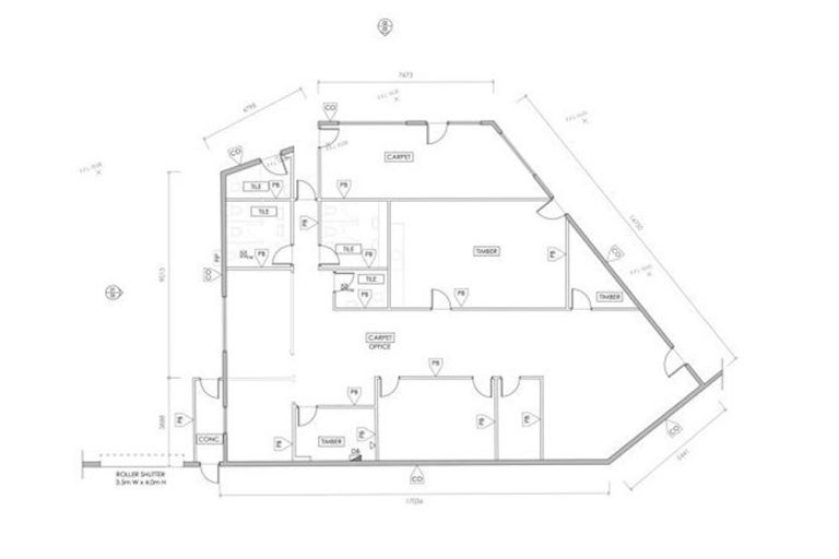
As construction progresses, minor changes may occur from the original development plan. Government agencies, engineers as well as general construction contractors utilize this survey method because as-built records are the final record which specifically documents any changes that modies the tangible portions of existing and completed structures.
As-built surveys provide information for architects, engineers, real estate developers, providing renovations for an existing structure, where most additions or modications will require the approval of Government agencies, authorities will also refer to as-built surveys. This survey also useful for utility and power companies in installations of new structures into older constructions.
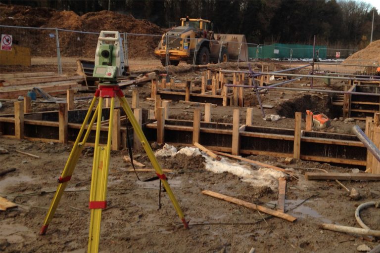
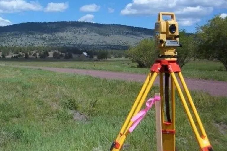
Deformation Monitoring Surveys are applicable to consistently monitor ground, floods and buildings by civil and structural engineers. This technique can be applied to monitor a vast array of structures both man made, bridges, railway-lines, dams, embankments, infrastructure and natural features like cliff lines or landslide prone slopes.
This survey is useful for property and development, construction and engineering industries in making sure that they have the right information to protect their investment, mitigate risk and ensure the safety of their development projects.
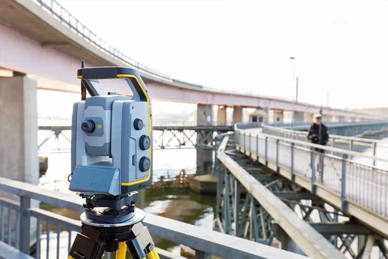
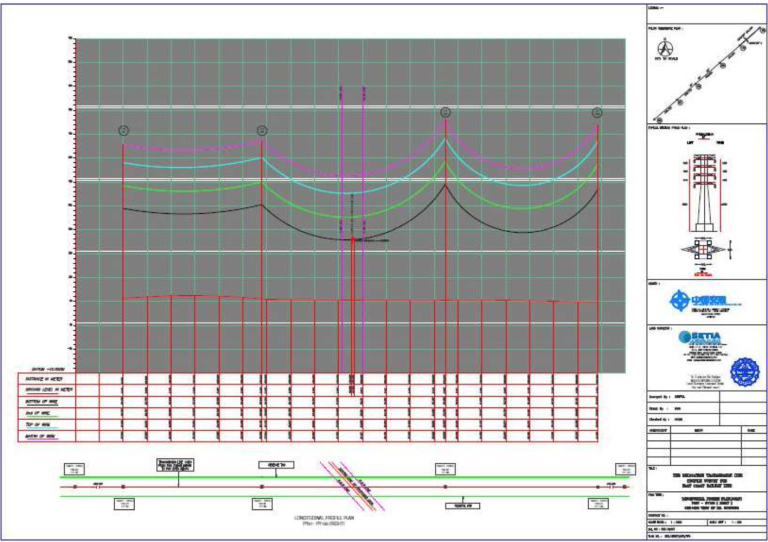
Profile surveys involve determining the elevations of a series of points at measured intervals along a line such as the centreline of a proposed ditch or road or the centreline of a natural feature such as a stream bed. This survey is often used prior to the development of a new project.
Profile elevations are taken on baseline stations to aid engineers in establishing a grade line to fit fild conditions. Profies should be taken by differential levelling circuits beginning and ending on the previously established benchmarks. Profies of grade line controlling features, such as crossroads, drainage, utility lines, irrigation works, railroads or other grade infiencing features should be taken far enough on either side of the centerline to clearly define the grade lines of those features.
Corporate Overview
Vision, Mission & Values
Top Management
Milestones
Our Clientele
Corporate Information
Awards & Accolades
ABC Policy
Kuala Lumpur
Suite L11-21, Tower 1, Wangsa 118, No.8, Jalan Wangsa Delima, Wangsa Maju, 53300, Kuala Lumpur
T :+(6)03-4144 2344
T: +(6)0386878415
F :+(6)03-4144 2644
E: sgskl@setiageosolutions.com
Whatsapp : +(6)0386878415