Mobile Mapping System for Asset Distribution and Planning
The virtue of maps, they show what can be done with limited space, they foresee that everything can happen therein. ― José Saramago, The Stone Raft
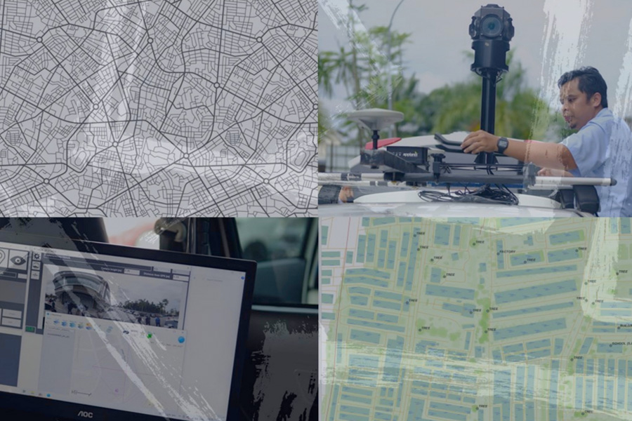
What is Mobile Mapping System?
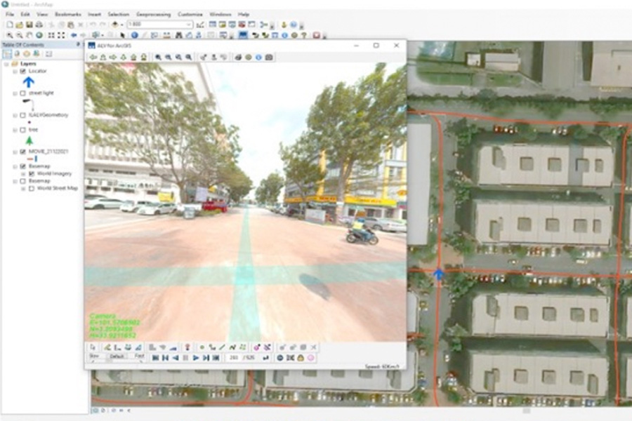
Mobile Mapping System (MMS) technology consist of the photographic image and location information of the objects which are captured by using an omnidirectional digital camera mounted on a moving vehicle with the position determined by high accuracy tracking devices and other sensors.
Application and Related Industries
The key factors that are expected to drive the growth of the mobile mapping market are the growing investments in smart city projects, adoption of advanced technology for surveying and mapping and also increasing in use of geospatial data in most of the application.
Example related application in industry such as large scale mapping and analysing their low-voltage (LV) assets located on-ground and publishing it in Geographic Information System (GIS) platform.
Why Us?
Our major clients consist of Local Authority, Government, Utility Service, Provider. Waste Management Division and Highway Concessionaries. Our proven track records:-
GIS Data Production Of LV Assets And Network Assets Including Customer Meter Using Distribution Network TNB.
Geospatial Information Systems (GIS) Data Production of LV Assets and Network Including Customer Meter for Distribution Network, at Pulau Pinang for TNB.
Point of Interest (POI) Data Collection at Township Area for GRAB Malaysia.
Get In Touch
Your journey towards effective solutions begins with a simple message. We’re here to listen, assist, and transform your queries into clarity. Connect now and let’s create possibilities together.