Why Land Surveying is Important?
Why Land Surveying is Important: Ensuring the Safe and Efficient Use of Land

Land surveying is a critical process that involves the accurate measurement and mapping of the physical features of a piece of land.
It has been used for centuries to establish property boundaries, map out the topography of the land, and provide critical information for engineering, construction, and development projects.
Land surveying plays a vital role in ensuring the safe and efficient use of land for a variety of purposes.
In this article, we will explore the importance of land surveying and its various applications.
1. Establishing Property Boundaries
One of the most important applications of land surveying is in establishing property boundaries. Accurately defining property boundaries is essential for property owners, developers, and government agencies to know what land they own and what land they are responsible for maintaining.Land surveying helps to avoid disputes between property owners by providing accurate and reliable data on property boundaries.
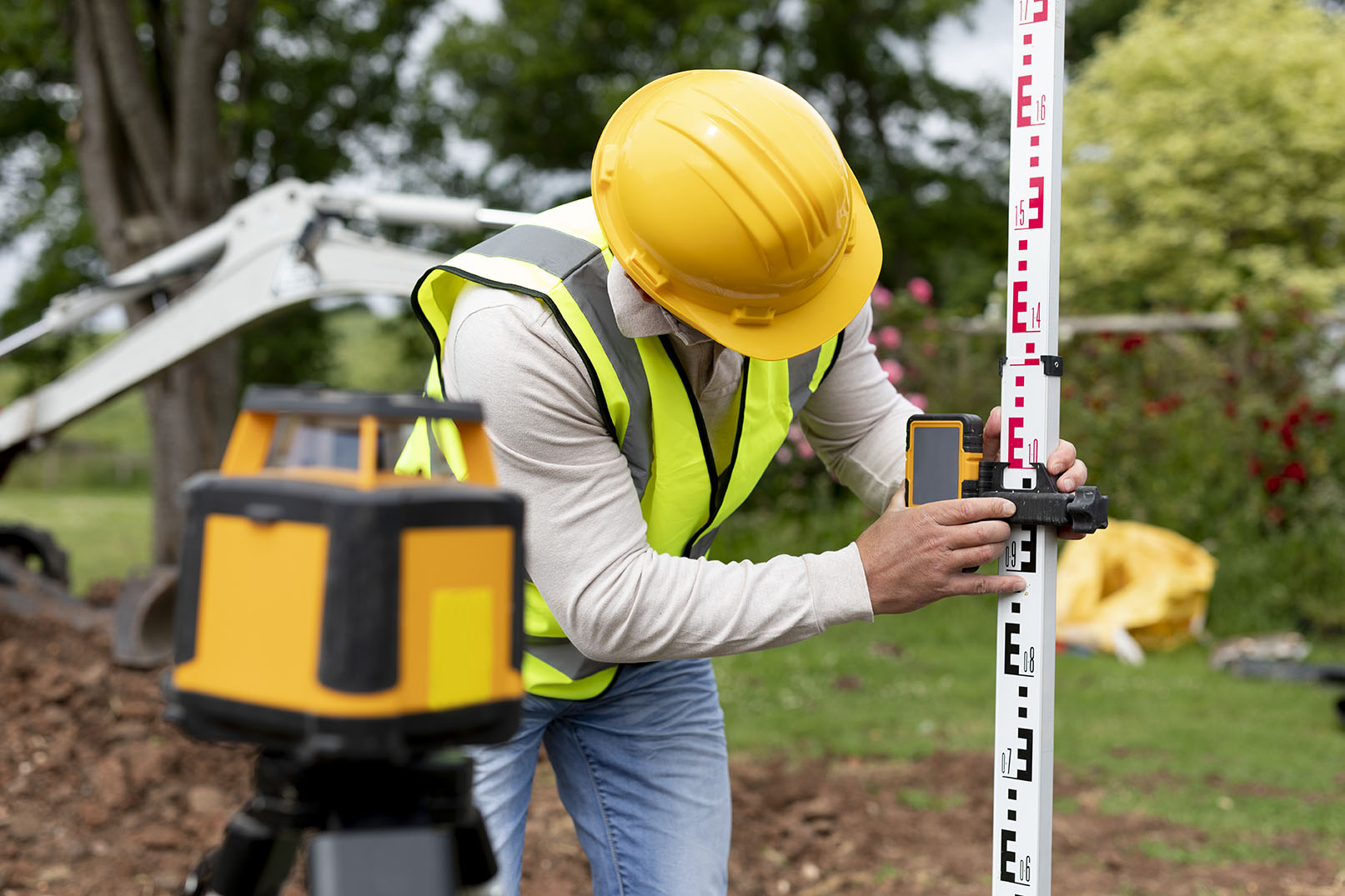
Land surveyors use various tools and techniques to measure and map out property boundaries, such as using GPS technology, electronic distance measurement devices, and laser levels.
These tools allow surveyors to accurately measure distances, angles, and elevations, which are then used to create detailed maps and legal descriptions of the property boundaries.
2. Land Development and Construction
Land surveying also plays a crucial role in the planning and development of new infrastructure, such as roads, bridges, and buildings.Surveyors can accurately map out the land to determine the best locations for these structures, taking into account factors such as the topography of the land, the presence of natural resources, and potential environmental impacts.
In addition, land surveying is an essential component of construction projects.
Surveyors use their measurements and data to help engineers and architects design structures that are safe and efficient.
Accurate land survey data also helps to ensure that construction projects stay within budget and are completed on time.

3. Public Safety
Land surveying is important for public safety reasons. Surveyors can accurately identify potential hazards, such as steep slopes, unstable ground, and flood-prone areas, and provide recommendations for how to mitigate these risks.This information is critical for engineers and architects in designing safe and stable structures.
In addition, land surveying can also be used to identify potential hazards related to human activity, such as the construction of pipelines or the storage of hazardous materials.
Accurate land survey data can help to prevent accidents and minimize the risk of environmental damage.
4. Environmental Planning
Land surveying is also important for environmental planning. Surveyors can help identify ecologically sensitive areas, such as wetlands or wildlife habitats, which may need to be protected during development projects.Accurate land survey data can help to ensure that these areas are protected, and that development projects are designed to minimize their impact on the environment.
In addition, land surveying can be used to identify potential sources of pollution, such as the location of underground storage tanks or the runoff from industrial sites. This information can help to prevent pollution and protect the environment.

5. Legal Disputes
Land surveying is often used to settle disputes between property owners, such as boundary disputes or easement issues. Accurate survey data can be used as evidence in legal proceedings, helping to resolve disputes quickly and fairly.In addition, land surveying can also be used to establish the location of utility lines, which can be a source of disputes between property owners and utility companies.
Accurate land survey data can help to ensure that disputes are resolved quickly and fairly, and that utility lines are located in the proper place.
6. Other Applications of Land Surveying
In addition to the applications discussed above, land surveying has many other important applications. For example, land surveying is used in land use planning to determine the best use of a particular piece of land.By accurately mapping the land, surveyors can identify its natural features and provide recommendations on how to best use the land while minimizing environmental impacts.
This information is critical for landowners, developers, and government agencies in making informed decisions about land use.
Land surveying is also important for the maintenance and repair of infrastructure such as roads, bridges, and pipelines.
Surveyors can identify areas of erosion or damage that may require repair, helping to prevent accidents and extend the lifespan of these structures.

Accurate land survey data is important for property valuation purposes, such as for tax assessments or appraisals. By accurately determining property boundaries, surveyors can help ensure that property values are assessed correctly.
Land surveying can also play an important role in historical preservation. By accurately mapping historical sites or landmarks, surveyors can help ensure that they are preserved for future generations.
Finally, land surveying can be used to manage natural resources, such as forests or bodies of water. By accurately mapping these areas, surveyors can help ensure that these resources are used sustainably and that their ecosystems are protected.
Conclusion
Land surveying plays a critical role in ensuring the safe and efficient use of land for a variety of purposes.From property management and development to infrastructure maintenance and environmental protection, land surveying provides critical data and insights that help to protect public safety and the environment, prevent disputes, and ensure that land is used sustainably.
Accurate land survey data is essential for making informed decisions about land use, property valuation, and infrastructure development, and helps to ensure that development projects are designed to minimize their impact on the environment.
As such, land surveying is an essential process that will continue to play a critical role in shaping the future of our communities and our planet.


